AugGIS
Internship at R&D Breda University lab, contributing to AugGIS (an XR multi-user app)
AugGIS
General information
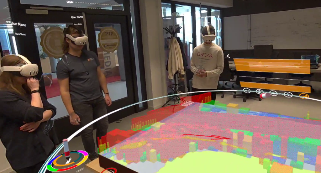
First-semester internship at Cradle, the R&D lab at Breda University of Applied Sciences. I worked as a programmer on AugGIS - a multi-user mixed reality application on Meta Quest 3 that projects geospatial data (maritime zones, wave heights, region boundaries) into a shared physical space for stakeholder engagement.
Source code available on GitHub.
Personal contribution
Graphics optimization
- Profiled the app using Meta’s RenderDoc fork; documented GPU bottlenecks (draw calls, overdraw, shadow pass, transparent materials)
- Eliminated the shadow pass (~325 draw calls, ~30% rendering cost) and batched per-layer region and outline meshes from hundreds of draw calls down to 1–5
- Researched and benchmarked alternative heatmap rendering techniques; implemented instanced-shape and heightmap visualization modes
- Replaced the pixel-shader map ring and Shapes package UI elements with runtime-generated meshes (+15% FPS on the map ring alone)
- Designed an artist-friendly model pipeline with a custom shader, eliminating multi-submesh draw call multiplication
Networking
- Self-studied Unity Netcode from scratch (NetworkObject, NetworkVariable, RPCs, spawn/despawn lifecycle)
- Implemented multi-user layer tag synchronization - a UX feature designed by the designers to share deletion state and position across all connected users
- Networked map pawn snap-to-grid and hold-to-duplicate mechanics using server-authoritative RPCs
Team collaboration
- Rewrote the XR button and toggle system per designer spec; iterated through multiple feedback sessions before merging
- Designed the model creation pipeline collaboratively with visual artists, adjusting the technical approach to fit their workflow
- Implemented audio feedback system using ScriptableObject presets, allowing designers to tune values at runtime
This post is licensed under CC BY 4.0 by the author.